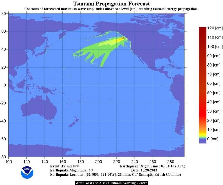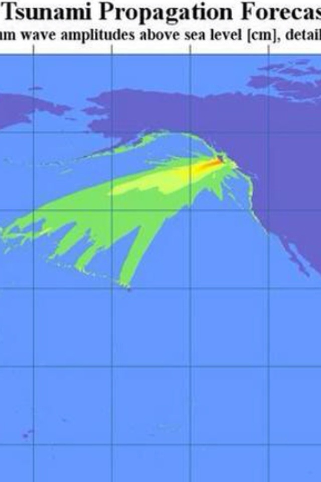
This map shows how Oregon, Washington & Alaska missed getting hit by a significant tsunami after a 7.7 magnitude quake off the coast of British Columbia last night.
Tsunami experts track what they call the beam of energy after a major earthquake like this. That beam was aimed away (mostly) from the northwest.
That saved us this time.

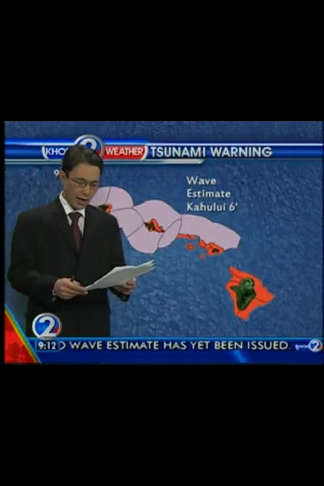
And you can clearly see the ‘finger’ of energy aimed toward Hawaii. This is based largely on the fault orientation and type of earthquake. Our sister station in Hawaii (KHON) did a great job with live streaming coverage.
Sea level did climb some spots along the Washington, Oregon, California & Alaska Coasts. Here’s the list: http://wcatwc.arh.noaa.gov/php/obs1.php
This 7.7 earthquake made the top ten most powerful earthquake list for 2012.
The most powerful quake this year (so far) was an 8.6 off the coast of Northern Sumatra.
This is another reminder that it’s a matter of when — not if — we’ll be hit by a significant tsunami again.


Thanks for that “tsunami Propagation Forecast’ map! That really explained to me why the waves never developed here along the BC Coast. I’ve actually visited that very area one time (back in 1986). Thank goodness it’s not very populated.
Wow, Roland, that’s pretty amazing you’ve been there. I guess I’m just glad it was a quake there and not the Cascadia Subduction Zone. That’s the one I lose sleep over!