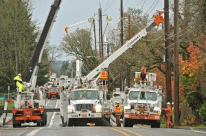
 While PGE crews worked around the clock in Oregon City to restore power to thousands of customers still powerless after Monday’s powerful storm, more intense downpours hit the Portland – Vancouver metro area with 40mph gusts, rain and hail.
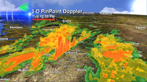 It’s days like these where I just love our 3-D Doppler — this shows the most intense downpour of Tuesday November 20th as it was moving out of Washington County and right into downtown Portland, on its way east.
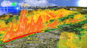 I mean, with an image like this, you know the weather’s about to get ‘real’! And boy did it ever.
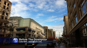 Downtown right before the downpour.
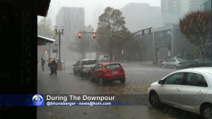 Downtown during the downpour. Check out the people huddled under the umbrella. Rainfall rates approached 2″ an hour.
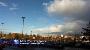 Portland’s east side, near Mall 205, after the deluge moved off to the east and really hammered the Cascades.
All of this action was triggered by much colder air moving in above us, which tends to destabilize things and make it stormy. We also had highs near 60 degrees in Portland, which was unusually warm. So warm weather at the surface and really cold above us is a nice recipe for storms and downpours like we saw.
Here’s some portland-rain-hail-wind-downpour video from the streets of downtown Portland as the action moved through around 1pm on Tuesday November 20, 2012.

I love this first-hand reporting of unusual weather in the Portland area. Keep it up!