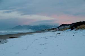
 The whole thing started innocently enough. With snow showers and sun breaks right down to the waters of the Pacific Ocean…and the Willamette River…and the Columbia River.
Don Best took this picture of Rockaway Beach, Oregon on January 16th after an early morning snow shower. There’s just something about Oregon & Washington beaches covered in snow that gets me every time!
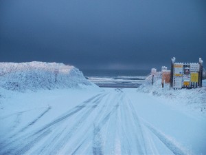 Here’s a shot from the same morning, in Gearhart, Oregon. Snow right down to the Pacific!
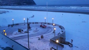 And how about some snow at the Seaside turn around! I wonder what the saltwater taffy guy does when the weather’s like this?
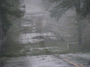 Next, came 110mph winds along the Oregon Coast. That was, appropriately enough, at Cape Foulweather, Oregon. It’s well named! 70mph+ gusts in the Coast Range of Oregon that brought down dozens of trees onto Highway 18 in the Van Duzer corridor. This semi was trapped in-between the falling trees but was okay. Wow. That’s a close call!
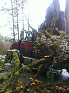 And look at this shot from the coast range. The trucker was blocked on both sides by falling trees–but got out and away from his rig before this big tree landed right on his cab. He was okay.
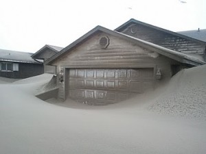 These same gusty winds along the coast buried homes in the coastal community of Waldport, Oregon. This cannot be good for the old paint job, can it? Here’s the interesting part: we sent a KOIN Local 6 Crew to see the clean up in action. Our crew found people who said they have situations like this each year and it’s just part of the privilege of living on a bunch of sand by the beach.
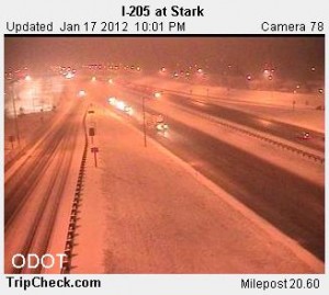 The night of January 17, 2012, the entire Portland-Vancouver metro switched from pouring rain (and a high of 40 degrees) to 32 degrees by around 9:30 at night. Big, wet, sloppy flakes accumulated to just over 2″ for an official Portland snow total. The air was just barely (what we call marginally) cold enough for snow if the precipitation was heavy. It was…and temperatures fell just enough. This shot of wet roads was 100% white about an hour later. Many outlying areas had 4-14″ of snow (depending on how long it staid cold enough) overnight.
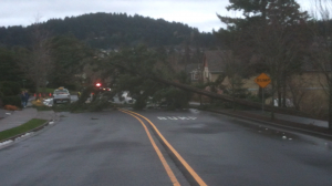 The heavy wet snow (now melted in this picture that Ryan sent in from Happy Valley combined with gusty south winds in the Willamette Valley to bring down trees on the 18th and sent about 30,000 PGE customers at a time into the ‘land of no power.’
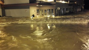 Next, came the flooding. This is downtown Salem, Oregon, with a river running through it. Mill Creek flooded this parking garage. January 17-19, 2012, Salem had 6.78″ of rain in 72 hours–about an entire month’s worth of water! The flooding was even worse in the town of Turner, Oregon, which had about 8″ of rain in that same amount of time. Portland had 3.49″ during this same time. That’s a huge difference and it was reflected in rivers and streams.
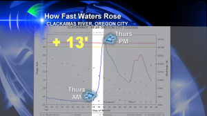 Flooding was a close call many places in the Willamette Valley. Follow the blue line in this chart. It shows the Clackamas River at Oregon City rising about 13′ in a single day. Luckily, the rain stopped just in time and it never caused anything besides minor flooding. But it was a close call.
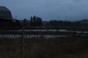 This flooding lead to water rescues. This woman on top of her Mustang in Willamette Valley flood waters was rescued by boat.
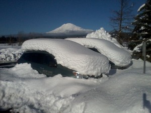 This whole time, it was dumping snow (with occasional freezing rain) in parts of the Columbia River Gorge. This picture is from Trout Lake, Washington where school district vehicles are buried in snow and power was out for 5 days straight. What a view of Mt. Adams in the background, though, that Darlisa caught in this great shot.
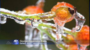 Yep, looks like freezing rain alright.
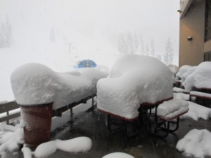 Mt. Bachelor smashed its all time record 24 hour snowfall–35″ in 24 hours. That’s big!
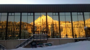 Here’s Mt. Hood reflected in the windows at Mt. Hood Meadows Ski Resort. The resort had 90″ of snow in one week. That’s some serious dig out action.
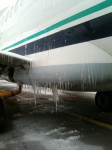 And while Portland & Salem were warm & wet, Seattle stayed icy. This is a picture of an Alaska Airlines Jet coated in ice at Seattle-Tacoma International. Hundreds of flights were cancelled including those between PDX & Seattle.
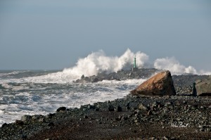 And because storms (both warm and cold, wet & very wet) were stirring up the Pacific Ocean so much, high surf advisories were issued several times from January 16-22, 2012. This is one of the big waves slamming Tillamook Bay on the Oregon Coast.
After looking at all these pictures…did I ‘over-sell’ this as the wildest week of winter?
Now let’s see what happens in February. And if you want to see even more pictures, check out the shots people posted to our weather slide show!

Leave a Reply