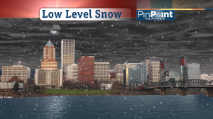
 When this entire snow event is over, I think many of us in the I-5 Corridor will have seen 1-4†of snow, with higher amounts for many of the hilly areas around here.
Wednesday morning: the snow level is at or near snow level. Sun breaks and snow showers dominate the morning commute. Most major roads are mainly wet—even if grass nearby is white. Although some schools may be delayed because of accumulation on hills above 500’ elevation, I think other schools will run right on time. Most morning lows are just a smidge above freezing.
Wednesday afternoon: after highs near 40 around mid-day, snow showers likely increase late in the afternoon and temperatures fall to near freezing by the evening commute. If the moisture is on time then the evening commute should be an issue with accumulating snow likely on the valley floor. This should be part one of the main snow event, as I’ve been calling it on the news.
Thursday: As even colder air moves in from the north, it’s possible we stir up another big round of snow showers. More accumulating snow is possible to the valley floor. This has the potential to be main snow event, part 2. Lows should be below freezing so anything that falls should be an issue. But let’s worry more about this after we get through Wednesday!
Friday: The snow maker is gone and we’re breaking records with a morning low of 21 and highs barely above freezing. But let the sun shine on!

Leave a Reply