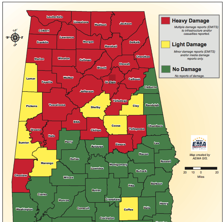
Wow. That's what I had to say after seeing this new map of tornado tracks across Alabama and the rest of the southeast during the nation's second deadliest tornado outbreak. The oranges, yellows and reds are the areas of strongest rotation detected by the tornadoes. The severe weather … [Read more...]
Tuscaloosa, Alabama Tornado Track From Space
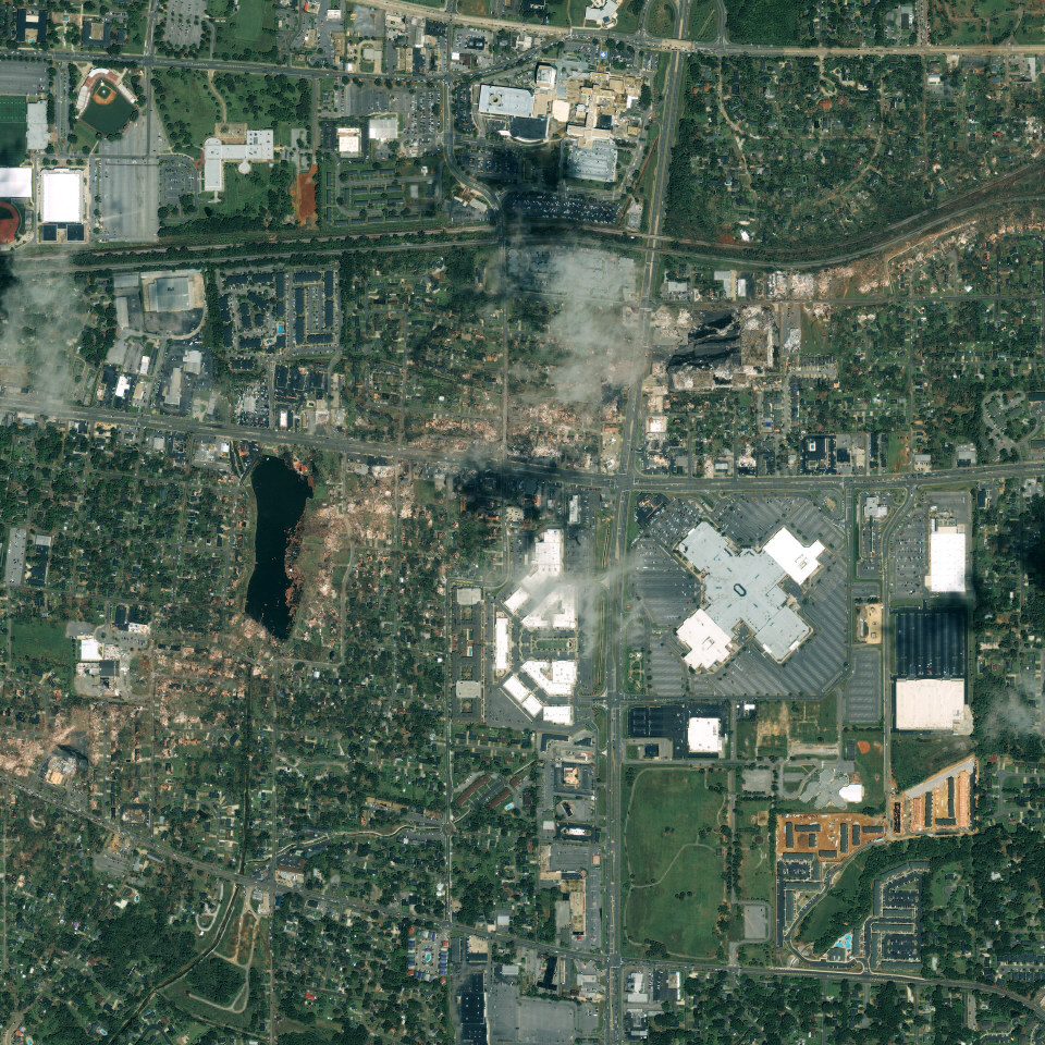
By now we've all seen the devastation on the ground and by helicopter. And if you're reading from the Southeast, maybe you've seen it in person. But this image is the Tuscaloosa tornado track from outer space. A company named GeoEye took this image on April 28, 2011 - the day after the tornado … [Read more...]
Deadliest Tornado Outbreak In Decades Slams Alabama, Eastern States
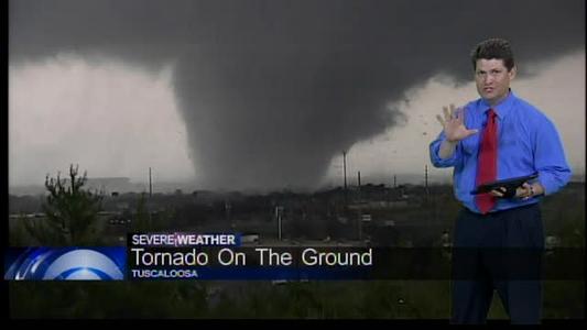
You're looking at my friend and colleague Mark Prater--in the middle of saving lives on April 27, 2011. This is a snapshot of him,on the air, with live video of the Tuscaloosa, Alabama tornado as it was destroying homes and buildings and killing people in its path. And while I was putting … [Read more...]


