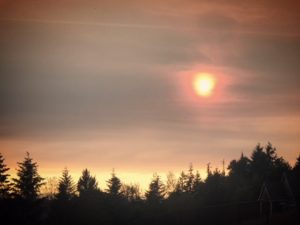
 The smoke moved into the skies above Portland, Oregon more than a week ago, triggering an eerie Sunday night sunset.
This photo from an evening barbecue does not do it justice.
After seeing this, I pulled up the satellite map on my phone and watched the smoke move in as upper-level winds started blowing from the south and toward the north.
Fast forward to today, Tuesday August 14, 2018: air quality will at times be unhealthy and smoke is hanging very low over much of the Portland-Vancouver metropolitan area and the I-5 corridor. Low level smoke is being blown in from the north and east of us.
Check Portland and Willamette Valley air quality now.
Meanwhile, high-level smoke covering Oregon’s Willamette Valley since last week remains-and it is mainly from California’s largest wildfire ever recorded and a number of wildfires burning in southern Oregon right now.
Is haze in the sky really smoke?
Over the last week, I’ve been asked repeatedly, “Are you sure this haze in the skies is actually wildfire smoke?â€
Yes. And here is more proof from a flight we took a few days ago from Portland down to San Diego.
First of all, the flight was an hour late on the way in. The pilot announced that was due to smoke, not fog, on the route from San Francisco to Portland which was our plane’s inbound route.
After takeoff from PDX (with a very friendly Alaska crew!), we suddenly flew through a “brown layer†of air, just like you typically see landing on a summer day in Los Angeles.
However, instead of pollution from cars burning fossil fuels, this was pollution created by hundreds of thousands of acres of burning vegetation.
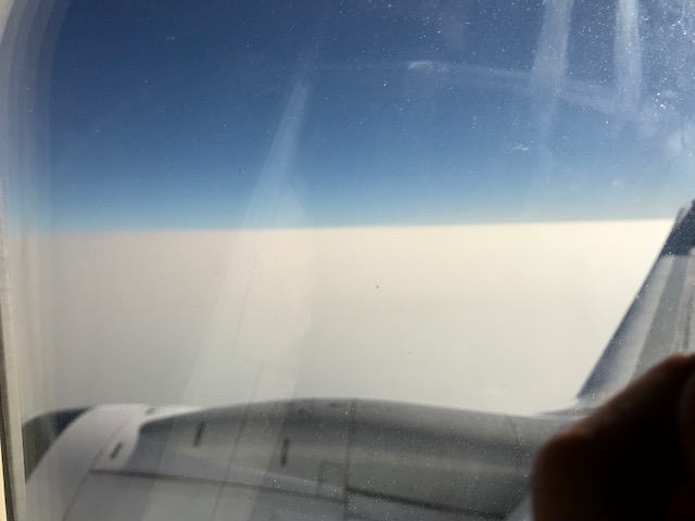
As the airplane climbed above that layer, we were looking down on a blanket of smoke so bright & so thick we could not see the ground. (Below)
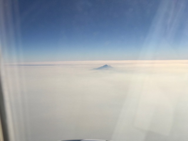
The layer of smoke became even thicker as the flight crossed into Northern California. Look at the mountain peak poking out of the smoke! (Below)
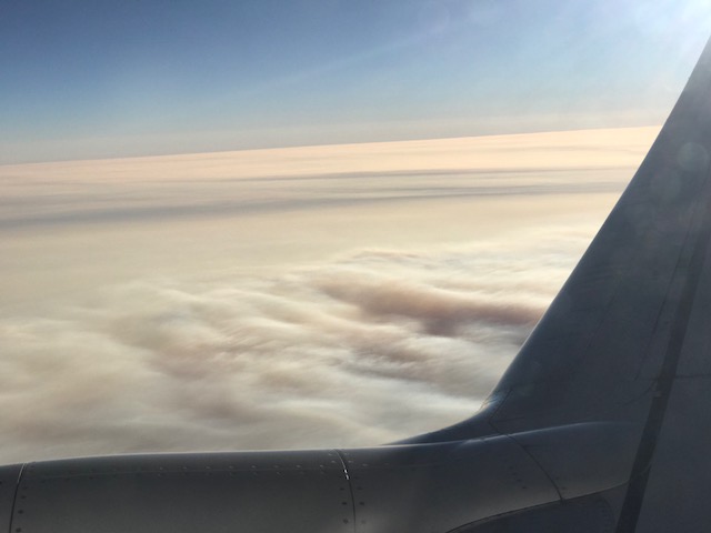
And we also saw areas where the smoke was riding ripples in the airflow, like when a stream passes over some rocks and the water creates a similar shape. (Below)
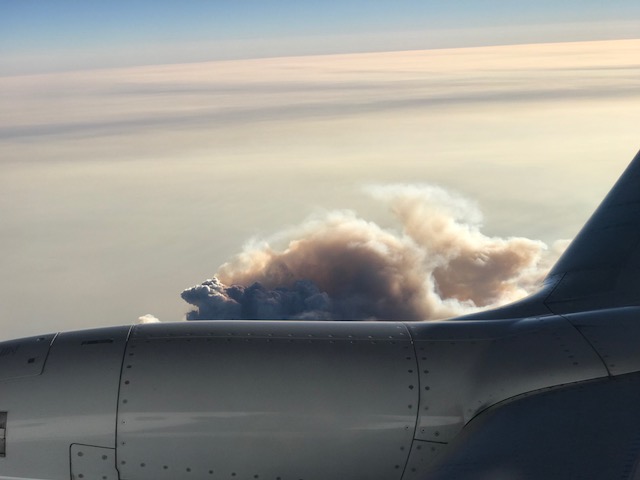
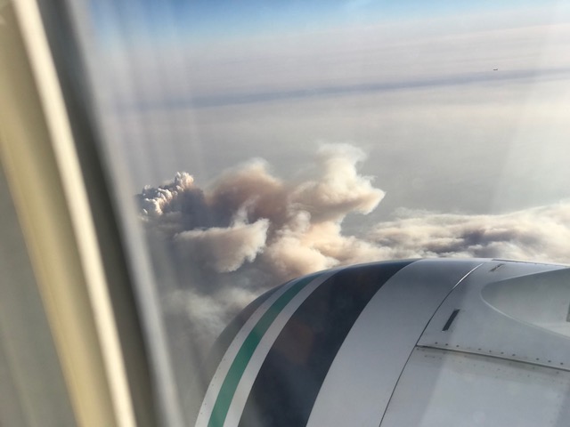
A few minutes later, we were east of Sacramento and Fresno and about halfway between those two cities and that’s when we flew over an area when the fire was raging below, sending a massive plume of smoke into the sky. (Below)
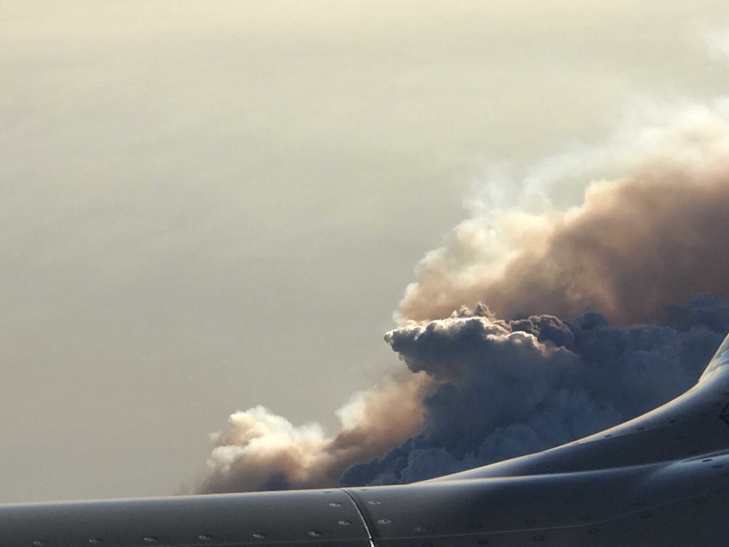
Not exactly award-winning photography and the engine was blocking my view.
But doesn’t it look like either a thunderstorm building into the sky or some sort of monster from a Godzilla type movie? This is a massive amount of smoke with a rapidly burning fire underneath. (Below)
As we flew on, we could see the orange tints of a smoke filtered sunset-and as it got dark, we could see California’s Channel Islands and the smoke extending offshore over the Pacific. (Below)
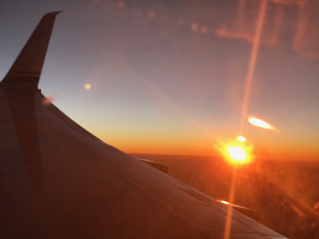
In the photo below, that is wildfire smoke and not the typical marine layer offshore from the Los Angeles area.
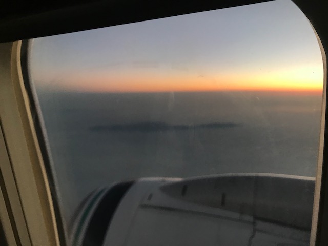
Amazingly, when we landed in San Diego the skies were clear-and we woke up to bright blue as we headed to SeaWorld. We had finally “out-flown” the wildfire smoke!
Each part of the west will get out from under these smokey skies at a different time based on wind at the smoke’s altitude, as it changes direction and gets stronger.
For the low-level smoke over Portland and Salem, most of it should blow out of here in a couple of days and air quality will improve.
However, the high-level haze made of smoke will continue to come and go until fire crews and fall rains finally knock all of the western fires down or pacific systems start to
With a fire season that easily runs through September, that might be awhile for some of us seeing smoke in Oregon, Washington, and California.

Leave a Reply